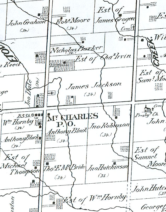
Derry Road was a busy pioneer thoroughfare, and as a result, a string of hamlets and rural communities developed along Derry Road between Malton and Meadwovale. The first settlement west of Malton, at the modern intersection of Derry Road and Dixie Road, was known originally as King’s Crossing or King’s Corners. It was named in honour of Charles King, the first settler of the area. When Charles King arrived in 1819, the area was a dense forest with crude trails, and his nearest neighbour was Isaac Devon, who lived seven miles away. Charles King was granted 100 acres from the Crown on the Northeast side of the intersection. In 1826, his son, Charles Jr., received a Crown grant for 100 acres adjoining his father’s farm.
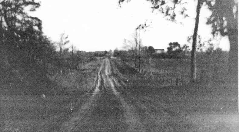
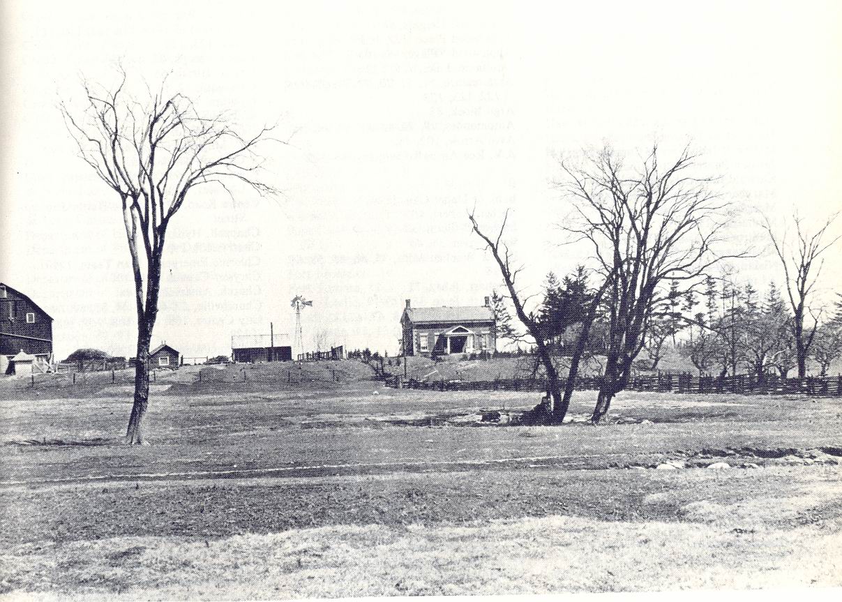
Dixie Road, looking south, Mount Charles, c. 1900
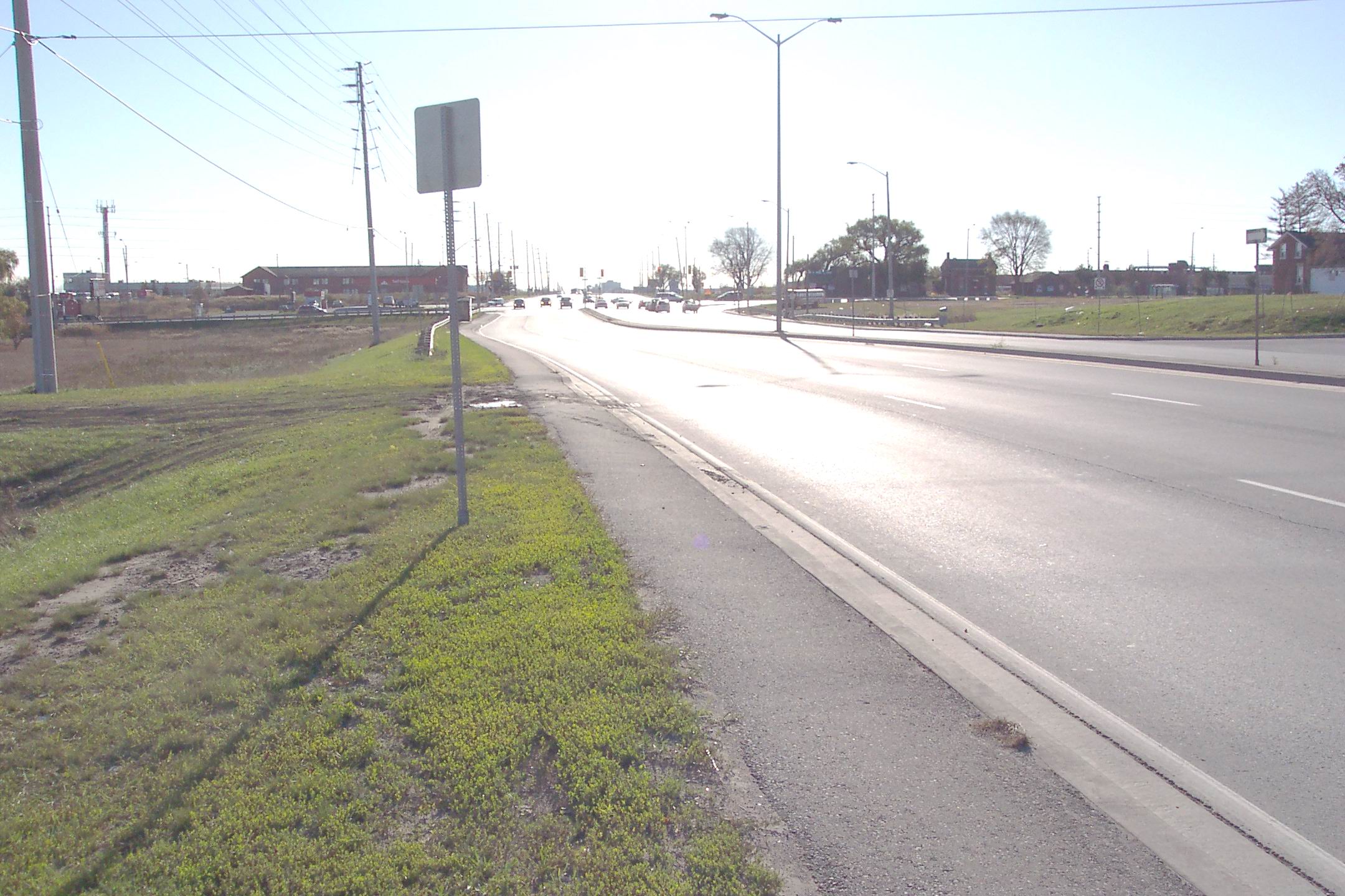
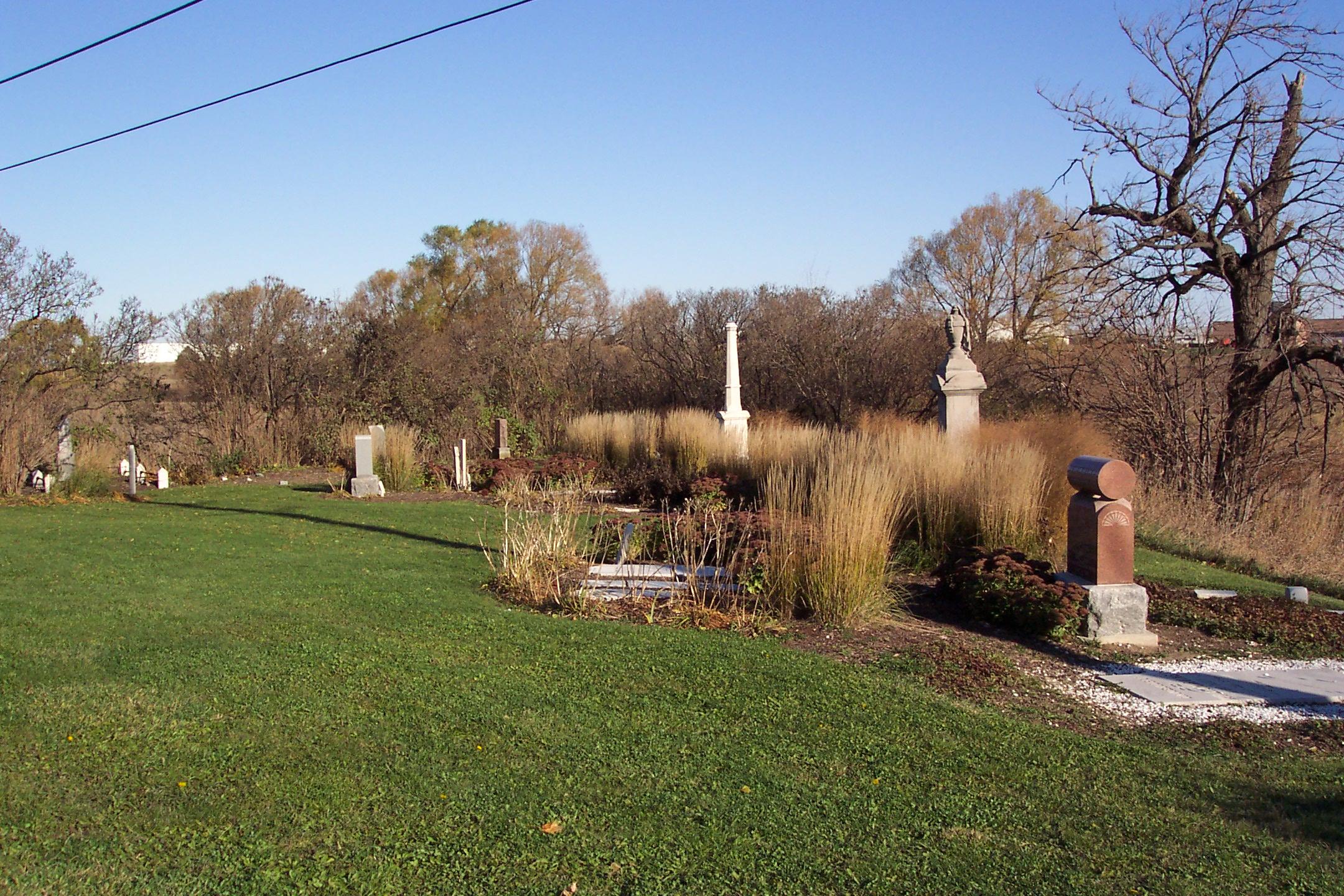
Mount Charles Today, Dixie Road Looking South
The Mount Charles Post Office opened in 1862. Charles King Jr. is listed as the postmaster; at this time, the name of the community was changed to avoid confusion with Kingsville, Ontario. The residents decided to commemorate Charles’ first name, and the name of the hamlet was changed to “Mount Charles”. The “mount” may come from good-natured humour as the entire area is flat. A local farmer, William Johnston, is credited with coming up with the suggestion during a very contentious meeting. Another suggestion for the origin of the name is from a parish in Ireland. The Post Office was located in Charles King Jr.’s store, which was built in 1837 and located at the southeast corner of the modern intersection, where the gas station is today. The post office closed on July 1st, 1915 and the store was removed a short time later.
A small community cemetery was established in Mount Charles in 1832. Charles Jr. sold his properties to Robert Craig in 1869, who in turn transferred the cemetery to trustees Henry King, Robert McLeod, James Jackson, Edward McBride, Charles Irvin and James Savage. There are also two “lost” cemeteries in the Mount Charles area: the Grogen Cemetery, roughly where Bramalea Road crosses Spring Creek today, just north of Derry Road. The second cemetery is known as the Loughead Burial Ground, just to the southeast of where Derry Road crosses over the Etobicoke Creek. By 1866, the community was “officially” recognized by the business directories. By 1867, this corner could claim a pair of taverns, Charles Jr.’s general store, and a blacksmith shop. In 1876, Robert McLeod, who had married Charles’ daughter Rachel, was listed as the storekeeper, postmaster and architect. John Madigan was listed as the village innkeeper. James Savage was listed as the blacksmith. James Kyle and William Scollen are also listed as blacksmiths in Mount Charles in 1877. In addition, the hamlet contained a carpenter shop, a wagon maker’s shop, and was home to a schoolteacher, a Justice of the Peace (possibly John Dale), a shoemaker and a general merchant. The community was also home to the Irvin (Irvine) brothers, Charles and William. Charles was a noted weaver while William was a carpenter and cabinetmaker. Charles’ loom now resides in the Black Creek Pioneer Village’s “Charles Irvin’s Weaver’s Shop” along with a blanket woven by him in the 1840s. The brothers were noted to be of “sterling” character and widely read.
Mount Charles settlement was largely Irish Protestant. There is early reference to a Primitive Methodist Church in Mount Charles, from about 1842 to 1859. After 1860, the residents of Mount Charles appear to have traveled either to Palestine and the Palestine Methodist Church (the next concession to the west) or to Moore’s (Bell’s) Presbyterian Church that was located along Derry Road, roughly halfway between Mount Charles and Malton. The small Moore’s cemetery from this church remains. For schooling, the Mount Charles community shared a school with Palestine. When discussions began on replacing the log schoolhouse with a more permanent structure, the residents of Mount Charles argued that it was unfair that they had to pay the same fee to attend school while having to travel farther. As a compromise, the new school was erected halfway between the communities.
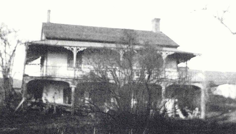
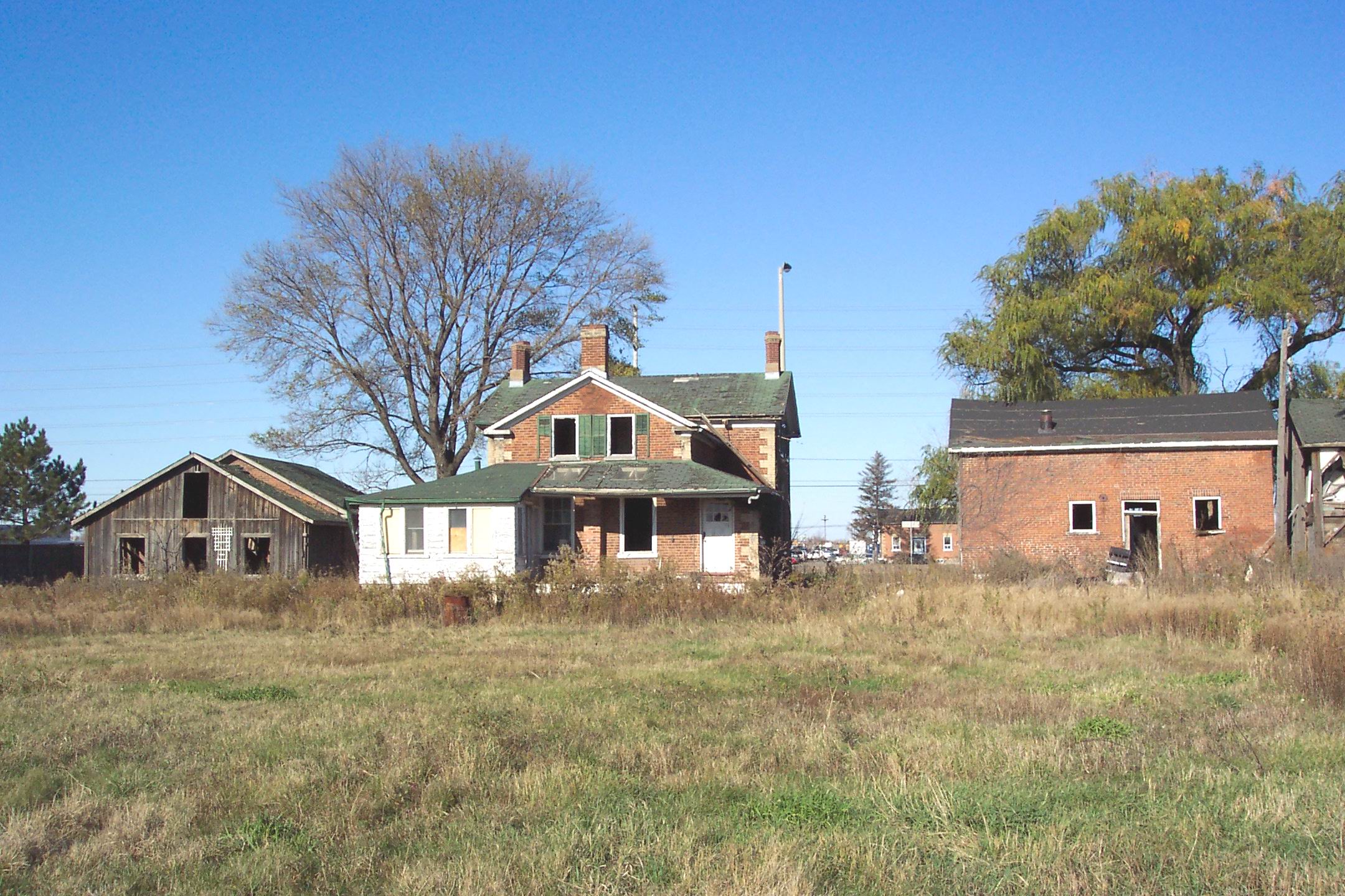
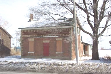
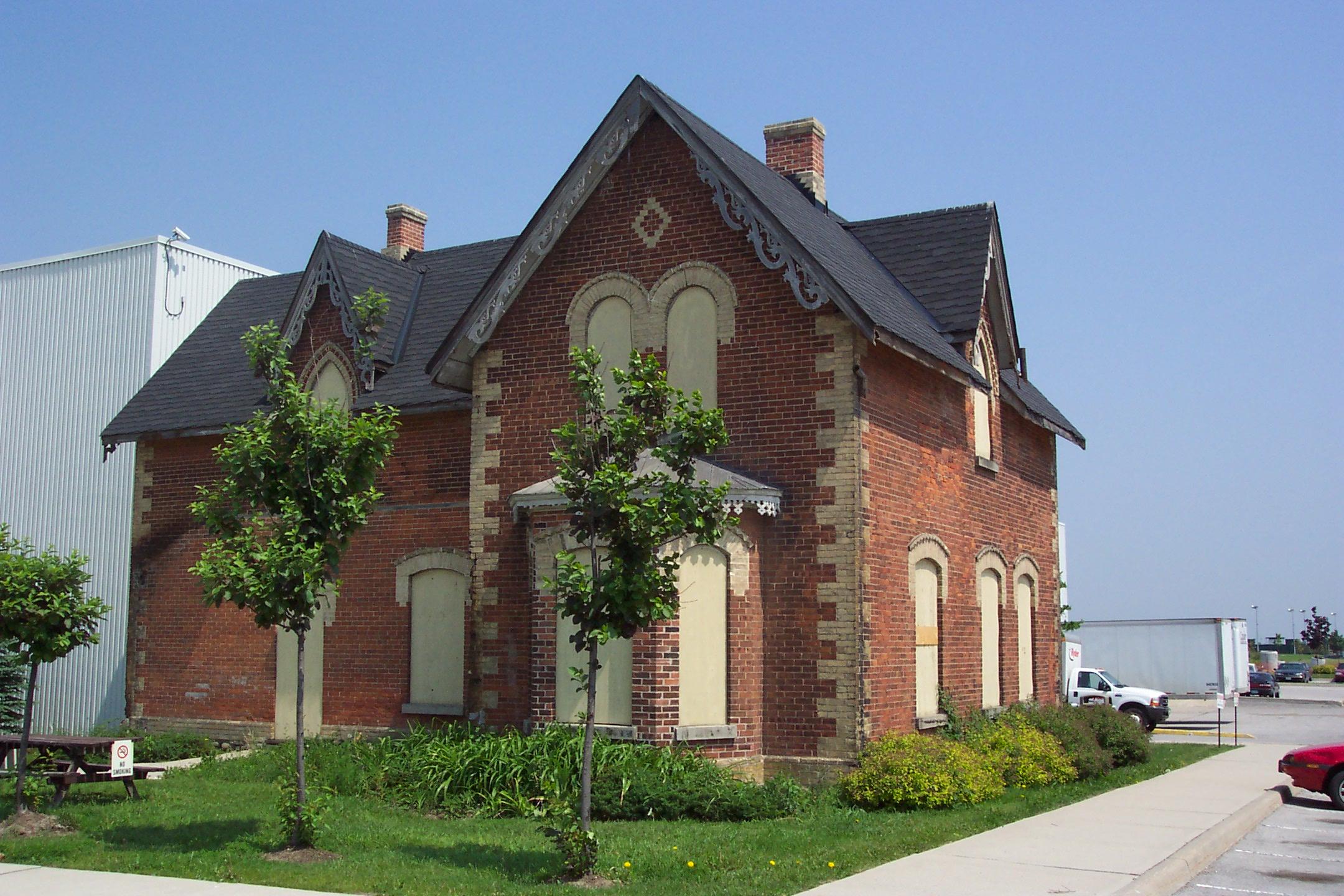
Mount Charles today is under the flight path of Pearson International Airport and is part of an extensive industrial zone, which stretches for kilometers in each direction. Still, surviving in the midst of it all, are some reminders of this rural pioneer community: on the southwest corner of the intersection sit, boarded up and awaiting an uncertain future, the brick blacksmith shop, the Rae house (circa 1860), a carriage shop, and a couple of modified buildings that once housed a carpenter’s shop and stables. On the Northwest corner of the intersection sits the old Dale farmhouse. Further to the east along Derry Road, almost lost amongst the industrial sprawl, is the gorgeous Clarke house, sitting forlorn on the Bombardier Company property. These rustic structures are threatened with imminent development. We can look at the names from the 1877 Atlas – names like Armstrong, Barker, Black, Dale, Gage, Grogen, Hornby, Irvin, Jackson, King, Moore and Savage (amongst others) – in an attempt to stir a community memory or place a human face on this once forgotten hamlet from our pioneer past.