Barberton
The historic mill-village of Barberton developed just north of the modern intersection of Mississauga Road and Eglinton Avenue, along the Credit River. Read more…
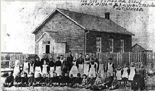
Britannia
The Britannia Schoolhouse provides a strong visible reminder of the historic village of Britannia. Read more…
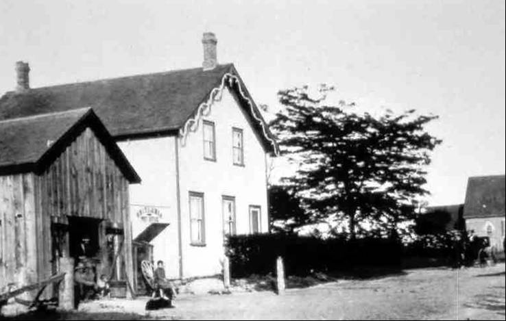
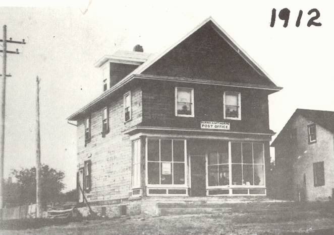
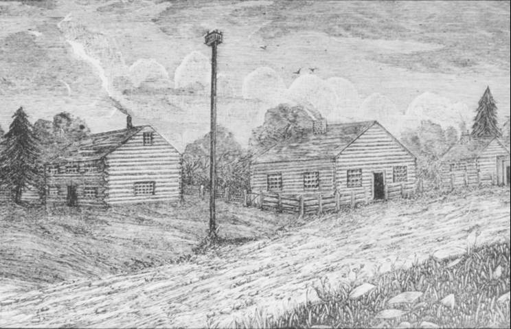
Burnhamthorpe
The hamlet of Burnhamthorpe, formerly known as “Sand Hill”, grew around the intersection of Dixie and Burnhamthorpe roads. Read more…
Catholic Swamp
The “Catholic Swamp” was originally part of Trafalgar Township, roughly situated around the intersection of Ninth Line and Britannia Road. Read more…
Clogheneagh
Clogheneagh was located, roughly, near the intersection of Airport Road and Northwest Drive, near Malton. Read more…
Credit Mission
The Credit Mission, also known as the Credit Indian Village, was located on the site of what is today the Mississaugua Golf & Country Club on Mississauga Road. Read more…
Derry West
Derry West was located around the intersection of Derry Road and Hurontario Street. Read more…
Elmbank
Elmbank was located near the historic intersection of Britannia Road and 5th Line East (Torbram Road). Read more…
Frogmore
Frogmore developed around what is now the intersection of Winston Churchill Boulevard and Dundas Street West. Read more…
Hanlan
The hamlet of Hanlan developed around the intersection of Britannia and Tomken roads. Read more…
Harris' Corners
The crossroads hamlet of Harris’ Corners was located around the historic intersection of Mississauga Road and Derry Road. Read more…
Hawkins’ Corners
The lost hamlet of Hawkins’ Corners, once at the intersection of Tomken Road and Eglinton Road. Read more…
Lisgar
Originally known as Swtizer’s Corners, Lisgar developed around the intersection of the Town Line (now Winston Churchill Boulevard) and Derry Road. Read more…
McCurdy's Corner
McCurdy’s Corners was located at the intersection of Ninth Line and Derry Road. Read more…
Mount Charles
Palestine
Palestine developed around the intersection of Derry and Tomken roads. Read more…
Pucky Huddle
The crossroads hamlet of Pucky Huddle grew around the modern intersection of Burnhamthorpe and Tomken roads. Read more…
Richview
To the modern traveller all that remains of Richview is a small cemetery located within the onramps of highways 401, 427 and Eglinton Avenue. Read more…
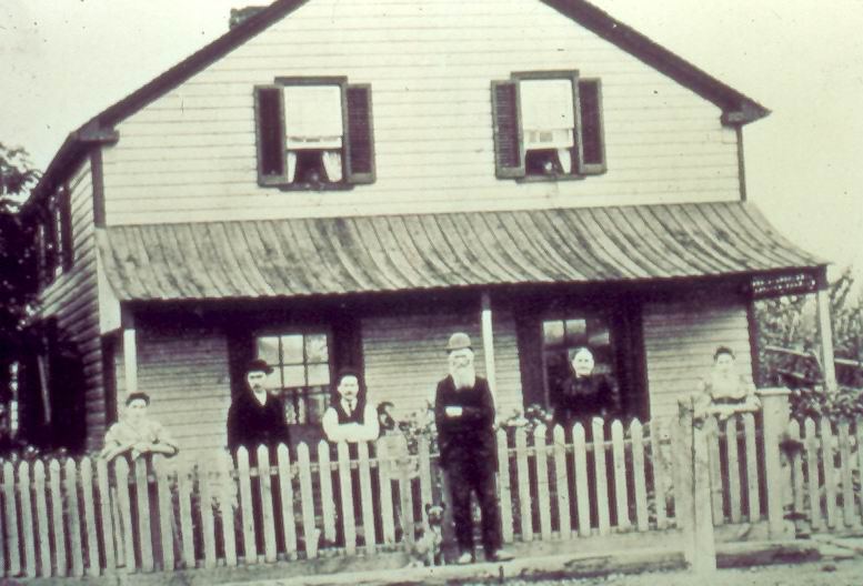
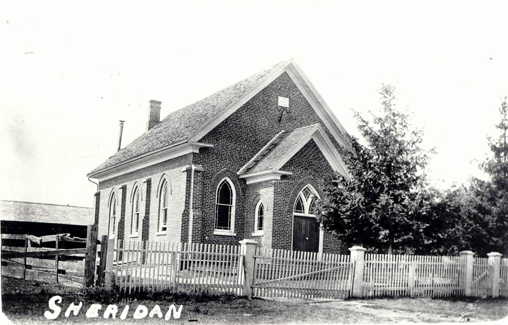
Sheridan
The historic village of Sheridan grew around the intersection of Winston Churchill Boulevard and the Queen Elizabeth Way (formerly Middle Road). Read more…
Snider's Corners
Located around the intersection of Ninth Line and Burnhamthorpe Road, Snider’s Corners was named after an early settling family. Read more…
Summerville
Summerville developed around the crossing of Dundas Street and the Etobicoke Creek. Read more…
Whaley's Corners
Whaley’s Corner, a small crossroads hamlet, developed around the intersection of the Town Line (now Winston Churchill Boulevard) and Steeles Avenue. Read more…